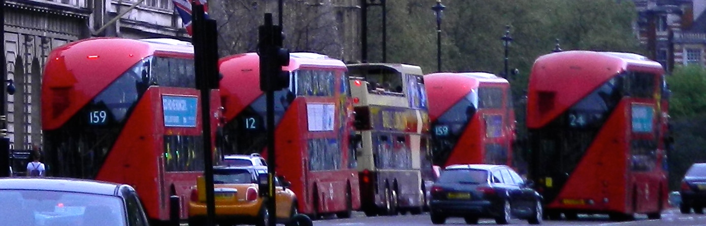
London is served by an extensive network of underground (tube), and overground trains and buses.
East London also has the Docklands Light Railway (DLR).
There is a tram service between Wimbledon, Croydon and Beckenham in south London.
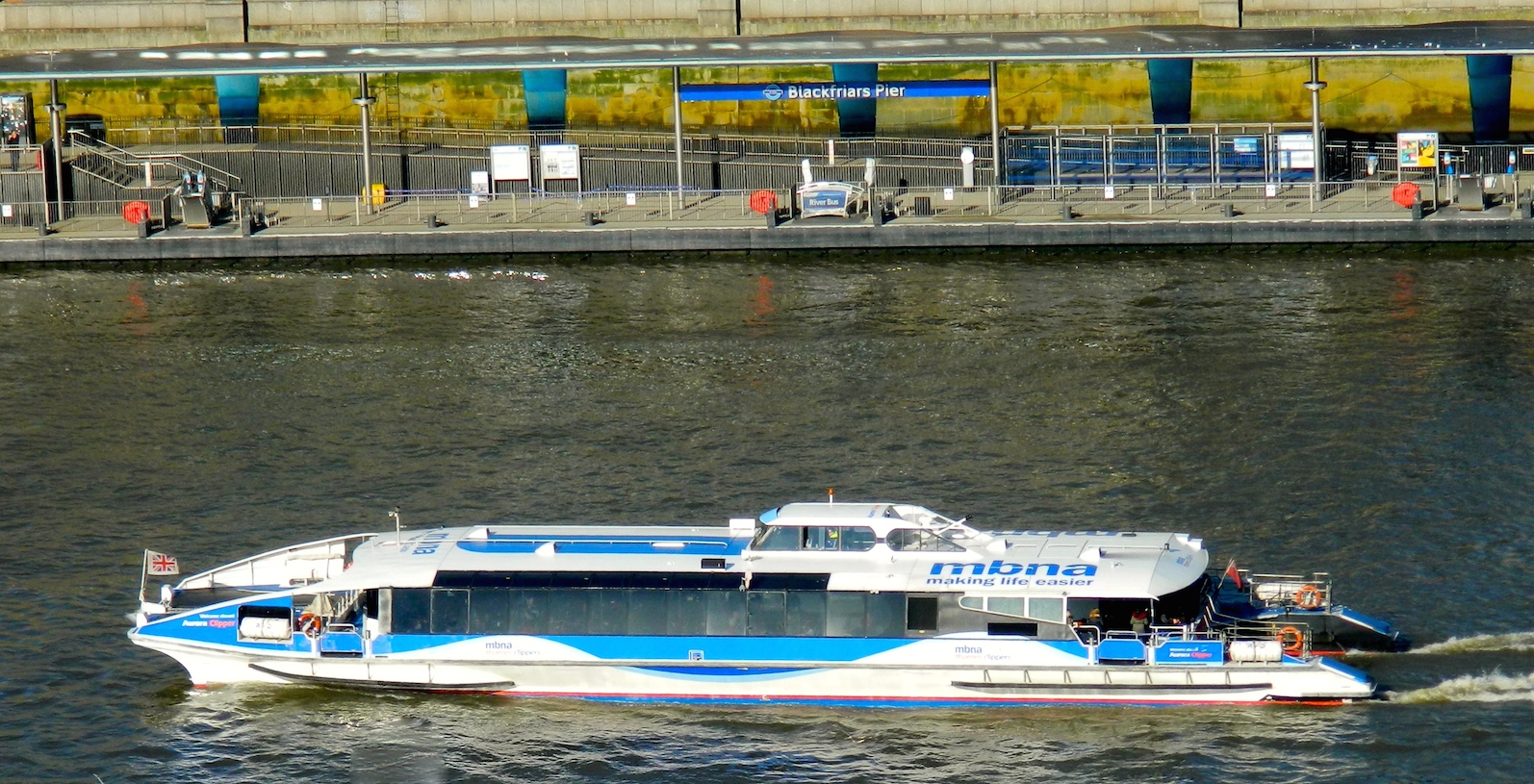
Riverboats run between Putney in west London and Woolwich.
They can divided into sightseeing cruises and river buses, the latter tend to be faster and cheaper, but are largely enclosed and may not offer as good a view or have a commentary.
River Bus
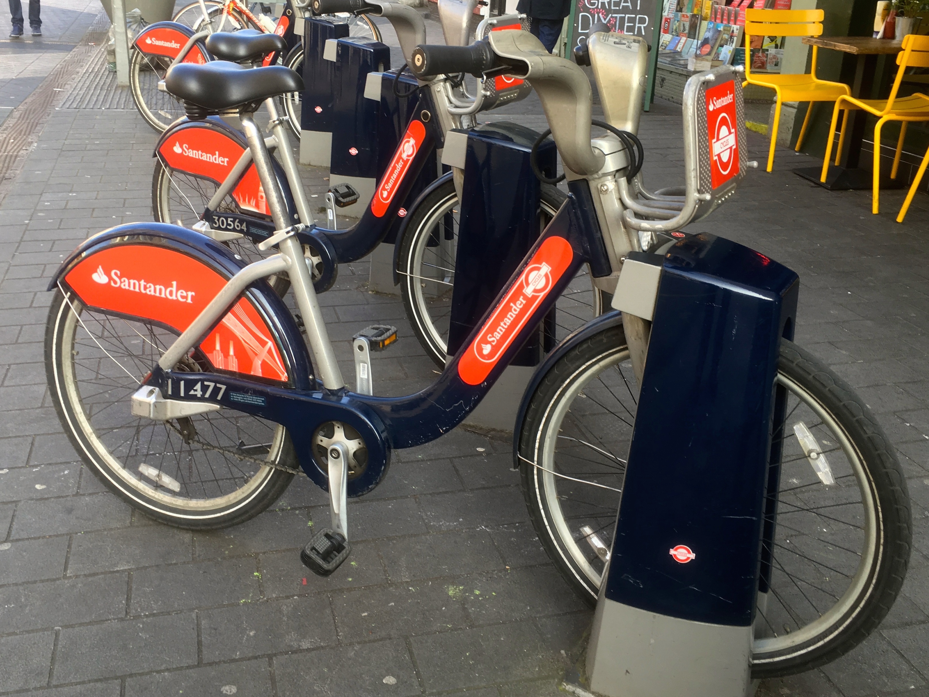
Bicycle hire is widely available, both from fixed docking stations, bicycle hire shops, and from hire bikes left, seemingly randomly, on the street, in parts of London.
Electric Bikes are becoming increasingly available to hire.
Privately owned Electric Scooters, although a common sight, cannot legally be used on public roads, pavements or cycle paths.
However parts of London have trial schemes allowing the use of rental electric scooters. Rules governing their use may vary, but generally riders must be 18 or over and hold a full or provisional drivers licence. The scooters may be speed restricted, and have identifying numbers.
Bicycle Hire Bike Docking Station
Taxis
Black Cabs (nowadays not always black)
Have an orange “Taxi” light on the front, and a white licence badge displayed at the back.
They can be picked up from taxi ranks or hailed on the street (when the orange light is illuminated). They can also be ordered online, by phone or by using apps such as Gett and FREENOW.
Mini Cabs
Should be ordered online or by phone, or at a minicab office. They cannot (legally) be hailed on the street. They display blue and white “Private Hire” badge in the rear window.
Uber, Bolt and Ola
Operate in London. Download their apps to use.
Information
The Transport for London (TFL) website includes transport maps, information on fares and tickets, a journey planner, and status updates for underground and overground train lines.
Paper copies of the tube map are usually available at underground stations.
A number of Apps can be downloaded giving travel information including Citymapper and TFL Go `.
Street maps can be bought in most news agents.
How to Pay
Oyster Card - is an electronic pre-payment card for travel on public transport in London.
They can be bought and topped up at underground and overground railway stations, and shops which display the Oyster logo.
Oyster Cards can be used for travel on :-
Underground (tube) trains
Most overground trains in London (and for some journeys outside London).
Docklands Light Railway (DLR)
Buses
Trams
Some Thames river boat services
Oyster Cards can be used for single journeys, daily or weekly travel cards and pay as you go travel.
Visitor Oyster Cards operate in a similar way.
Their advantage is that they can be purchased before arrival in London.
See link to TFL website above for more information
Contactless credit and debit cards can be used in the same way as Oyster Cards though TFL warn that some cards issued overseas may not work for this purpose.
Many payment systems for mobile devices such as Apple Pay and Google Pay can also be used,
Cash is no longer accepted on buses.
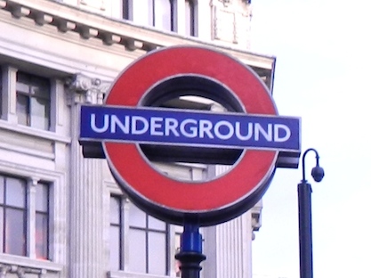
To locate the entrance to an underground station look for the signs at street level.
The different underground lines are colour coded on tube maps and the signage at stations usually clear.
Underground trains are described on display boards and in announcements either by their direction of travel - “Eastbound”, ‘Westbound” , “Northbound” or “Southbound”,
or with reference to their final destination.
Trains do not always travel the full length of a route, so the destination displayed may not be the last station on the line.
Some underground lines have two or more branches.
Check the direction you want to travel and, if the line splits, on which branch your destination lies.
A white circle on the tube map indicates a station where you can change between tube lines.
At some stations this can simply mean taking another train from the same or an adjacent platform, at others it may involve following the signs to a platform on a different level.
For payment purposes the underground is divided into zones. Zone 1 being central London and Zones 2,3,4 etc. a series of more or less concentric rings.
The fare payed for a journey depends on the zones travelled through.
Most bus stops have a timetable and some also an electronic display indicating when buses are due. If not there should be a number to text to get that information.
Zoom in and click on the blue bus symbol on Google Maps for details of buses that serve that stop.
The Citymapper app has similar information
At a bus stop with the word "Request" indicate to the driver of an approaching bus that you wish to board.
If it does not the bus should stop anyway if passengers are waiting.
Once on a bus there are usually announcements and/or a display with the name of the next stop.
Press the bell once to indicate you want to get off at the next stop.
Not only one of the best ways of seeing the sights, it can also be the easiest and quickest way of getting around, especially in central London.
To help work out if you want to walk or take the tube
A map showing walking times between tube stations on the same line is available on the TFL website
Walking Tube Map
For a relaxing stroll try one of London's many parks,
Parks & Gardens
or along the south bank of the Thames between Westminster Bridge and Tower Bridge.
Driving in London
Central London has a Congestion Charge Zone. A daily charge of £18.00 (if paid in advance, or on the day of travel) is payable by most vehicles driving in the Zone between the hours of 07.00 - 18.00 Monday to Friday, and 12.00 - 18.00 Saturdays, Sundays and Bank Holidays.
A much larger area, encompassing almost all roads within the M25 orbital motorway, is also designated as an Ultra Low Emission Zone (ULEZ), and vehicles not meeting the required standards are subject to a charge. For cars this is £12.50 daily - 24 hours a day 7 days a week. This is in addition to the Congestion charge, where applicable.
A Low Emission Zone operates within most of Greater Lonodon for drivers of larger vehicles, including lorries and coaches.
For more information see link to TFL website above.